Edinburgh town walls

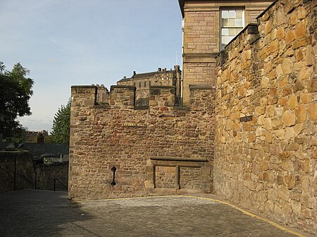
There have been several town walls around Edinburgh, Scotland, since the 12th century. Some form of wall probably existed from the foundation of the royal burgh in around 1125, though the first building is recorded in the mid-15th century, when the King's Wall was constructed. In the 16th century the more extensive Flodden Wall was erected, following the Scots' defeat at the Battle of Flodden in 1513. This was extended by the Telfer Wall in the early 17th century. The walls had a number of gates, known as ports, the most important being the Netherbow Port, which stood halfway down the Royal Mile. This gave access from the Canongate which was, at that time, a separate burgh. The walls never proved very successful as defensive structures, and were easily breached on more than one occasion. They served more as a means of controlling trade and taxing goods, and as a deterrent to smugglers. By the mid 18th century, the walls had outlived both their defensive and trade purposes, and demolition of sections of the wall began. The Netherbow Port was pulled down in 1764, and demolition continued into the 19th century. Today, a number of sections of the three successive walls survive, although none of the ports remain.
Excerpt from the Wikipedia article Edinburgh town walls (License: CC BY-SA 3.0, Authors, Images).Edinburgh town walls
Lauriston Place, City of Edinburgh Tollcross
Geographical coordinates (GPS) Address Website Nearby Places Show on map
Geographical coordinates (GPS)
| Latitude | Longitude |
|---|---|
| N 55.94622 ° | E -3.19698 ° |
Address
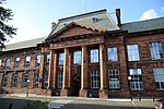
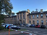
George Heriot's School
Lauriston Place
EH3 9EQ City of Edinburgh, Tollcross
Scotland, United Kingdom
Open on Google Maps


