Inveresk
MusselburghParishes formerly in MidlothianVillages in East Lothian

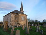
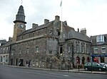
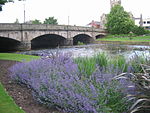
Inveresk (Gaelic: Inbhir Easg) is a village in East Lothian, Scotland situated 5⁄8 mi (1 km) to the south of Musselburgh. It has been designated a conservation area since 1969. It is situated on slightly elevated ground on the north bank of a loop of the River Esk. This ridge of ground, 20 to 25 metres above sea level, was used by the Romans as the location for Inveresk Roman Fort in the 2nd century AD.The prefix "Inver" (Gaelic inbhir) means a river mouth and refers to the point where the River Esk meets the Firth of Forth.The village was formerly in the Midlothian parish of Inveresk and developed separately from the burgh of Musselburgh.
Excerpt from the Wikipedia article Inveresk (License: CC BY-SA 3.0, Authors, Images).Inveresk
Inveresk Village Road,
Geographical coordinates (GPS) Address Nearby Places Show on map
Geographical coordinates (GPS)
| Latitude | Longitude |
|---|---|
| N 55.937 ° | E -3.047 ° |
Address
Inveresk Village Road
EH21 7TE , Pinkie
Scotland, United Kingdom
Open on Google Maps


