Algés (Oeiras)
Algés (Oeiras)Lisbon geography stubs

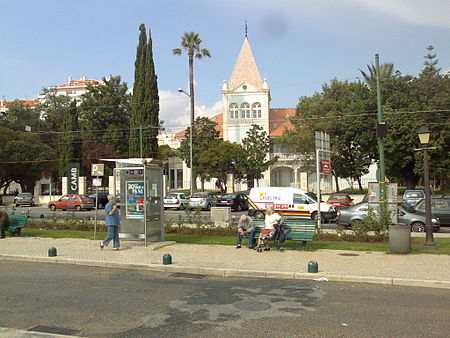
Algés (Portuguese pronunciation: [aɫˈʒɛʃ]) is a former civil parish in the municipality of Oeiras, in Lisbon metropolitan area, Portugal. In 2013, the parish merged into the new parish Algés, Linda-a-Velha e Cruz Quebrada-Dafundo. The population in 2011 was 22,273, in an area of 1.98 km². The parish is located near the Tagus river, between the town of Oeiras and the capital city of Lisbon. It is also a part of the Greater Lisbon Area. It is mostly a residential suburb. Algés was elevated to a town on August 16, 1991, and the parish was officially created on June 11, 1993, after separating from the parish of Carnaxide.
Excerpt from the Wikipedia article Algés (Oeiras) (License: CC BY-SA 3.0, Authors, Images).Algés (Oeiras)
Rua Filipa de Vilhena, Algés, Linda-a-Velha e Cruz Quebrada-Dafundo
Geographical coordinates (GPS) Address Nearby Places Show on map
Geographical coordinates (GPS)
| Latitude | Longitude |
|---|---|
| N 38.7 ° | E -9.233 ° |
Address
Rua Filipa de Vilhena
Rua Filipa de Vilhena
1495-057 Algés, Linda-a-Velha e Cruz Quebrada-Dafundo
Portugal
Open on Google Maps


