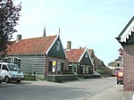
Hem, Netherlands
DrechterlandFormer municipalities of North HollandNorth Holland geography stubsPages with non-numeric formatnum argumentsPopulated places in North Holland
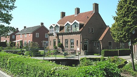
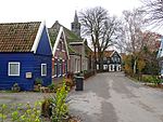
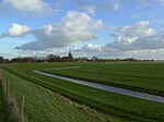
Hem (West Frisian: Him) (population estimate: 1230) is a village in the municipality Drechterland, located in the north west of the Netherlands, in the province of North Holland and the region of West-Frisia. The village was first mentioned around 1312 as Hem, and means "silted land in a bend of a stream". Hem developed in the 12th century as a peat excavation settlement.The tower of the Dutch Reformed church dates from around 1500. The baluster and spire were constructed after a 1897 fire. The matching church was demolished in 1972 after a fire. The Catholic St Lucas Church is an aisleless church from 1930. Hem was home to 591 people in 1840.
Excerpt from the Wikipedia article Hem, Netherlands (License: CC BY-SA 3.0, Authors, Images).Hem, Netherlands
Schoollaan, Drechterland
Geographical coordinates (GPS) Address Nearby Places Show on map
Geographical coordinates (GPS)
| Latitude | Longitude |
|---|---|
| N 52.661111111111 ° | E 5.1830555555556 ° |
Address
Schoollaan 4
1607 CL Drechterland
North Holland, Netherlands
Open on Google Maps
