Westfield, Cumbernauld
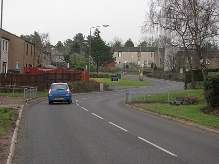
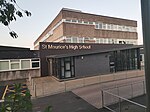
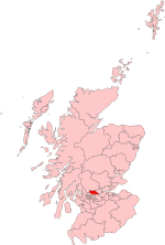
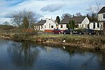
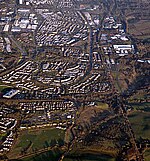
Westfield is an area of the town of Cumbernauld in Scotland. Westfield is a popular residential area originally built by Cumbernauld Development Corporation in the late 1970s and early 1980s (construction began 1975). It comprises a residential area and a large industrial estate. Historically there was a farm at Westfield as shown on Roy's map of the Lowlands and the 1st 25 inch Ordnance Survey Map of Scotland. It is located near Condorrat and Broadwood Stadium, home of Clyde FC. Historically, there were two local primary schools, St Francis of Assisi Primary School and Westfield Primary School. St. Francis of Assisi Primary School closed in 2009. The site has been re-developed by North Lanarkshire Council with new, high quality social housing available to rent. The new street is named Netherinch Way. Westfield also has other modern, private developments for example a new Bellway Housing development sits near Broadwood stadium along with a neighboring housing development. Westfield has a selection of frequent bus services to Airdrie, Cumbernauld Town Centre, Glasgow, Kilsyth and Kirkintilloch with buses operated by David Allan Coaches, First Group & McGills. In 2017 plans for a new retail park near Broadwood Studium were approved.
Excerpt from the Wikipedia article Westfield, Cumbernauld (License: CC BY-SA 3.0, Authors, Images).Westfield, Cumbernauld
Westfield Road,
Geographical coordinates (GPS) Address Nearby Places Show on map
Geographical coordinates (GPS)
| Latitude | Longitude |
|---|---|
| N 55.936666666667 ° | E -4.0416666666667 ° |
Address
Westfield Road
Westfield Road
G68 9LE , Collingwood
Scotland, United Kingdom
Open on Google Maps


